
Mequon ZIP Coverage at a Glance
Wisconsin's official ZIP class and city table identifies two ZIP codes for Mequon: 53092 and 53097. Both have Mequon and Thiensville city-field possibilities, while the exact street address determines the postal recommendation. No official source found a Mequon-only ZIP, a city PO-box-only ZIP, or a full neighborhood boundary list.
| ZIP | Mequon areas represented | Postal field | Best verification |
|---|---|---|---|
| 53092 | Parts or all of Mequon; City Hall and Weyenberg Library are examples | Mequon or Thiensville may appear | USPS By Address, MyVote, Ascent, GeoHub |
| 53097 | Parts or all of Mequon; civic-site examples include Crossroads Church, Mequon Nature Preserve, and Unitarian Church North | Mequon or Thiensville may appear | USPS By Address, MyVote, Ascent, GeoHub |
The Wisconsin DHS ZIP class and city table supports those city-field relationships. The examples help show local variation but do not draw postal boundaries.
Verify a Mequon ZIP with USPS
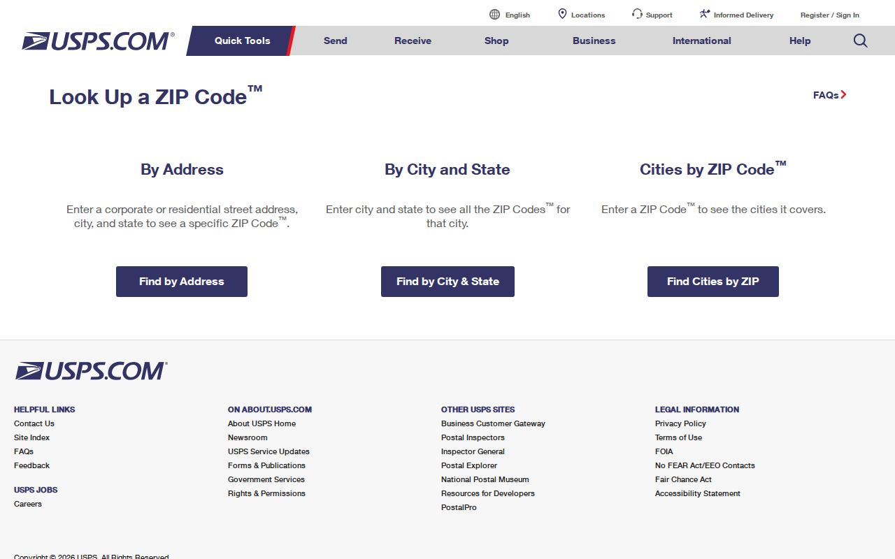
The USPS ZIP Code Lookup is the address-level authority for the recommended city name and deliverable ZIP. Its three modes answer different questions. “By Address” resolves a particular street line. “By City and State” lists ZIPs connected with a city name. “Cities by ZIP” reports city names tied to one ZIP. None of those results confirms that a named person or company is present.
| USPS mode | Required fields | Optional fields | Result use |
|---|---|---|---|
| By Address | Street, city, state | Company, unit, ZIP | Normalize one mail address |
| By City and State | City, state | None documented | Find associated ZIP choices |
| Cities by ZIP | Five-digit ZIP | None documented | Check recommended city names |
The official lookup screen shows the appropriate first test for this ZIP code directory.
A postal result should be saved with the full input and search date, then compared with the county parcel and municipal fields rather than treated as a resident record.
Mequon ZIP and City Layers Differ
Mequon is a city, while Thiensville is a separate village. A postal city field may still use either name within shared postal geography. A parcel's municipality comes from county land records. A ward or polling district comes from election administration. These labels can differ without any database being wrong because each was created for a different purpose.
Mequon's broad, low-density landscape makes the distinction useful. Census QuickFacts reports 25,142 residents in 2020, a 2024 estimate of 25,329, 46.28 square miles of land, and 543.2 people per square mile. Rural tracts, open space, roads, and civic sites do not form neat ZIP-sized neighborhoods.
When the search needs a whole street rather than a postal area, continue with the Mequon street address directory.
Find Mequon Residents Within a ZIP
A ZIP code directory can reduce a wide search area, but the verified street line should remain the anchor. No public ZIP-first owner search was documented in the current Ozaukee Ascent instructions. MyVote also works from an address, not as a public list of everyone in one ZIP. Follow the access path each source actually offers.
- Enter the complete street address in USPS and save the recommended city and five-digit ZIP.
- Use MyVote's polling-place search with street, city, ZIP, and unit if needed to check election geography.
- Enter street number and street name in Ozaukee Ascent. County instructions say to omit the direction and street type.
- Open GeoHub by address or parcel number to compare parcel, road, and municipal map context.
- Preserve any mismatch and ask the agency that owns the needed field which label controls that task.
A full voter-file extract is a separate WEC/BADGER request, not an open ZIP roster. Confidential fields, including protected voter names and addresses, are excluded. This Mequon ZIP code directory does not turn an address check into a bulk resident list.
Map Mequon ZIP Geography Carefully
The Wisconsin Department of Administration publishes geographic resources that connect municipalities with ZIP Code Tabulation Areas. A ZCTA is a Census statistical polygon based on ZIP geography. It is not the same as a live postal delivery boundary. Use it to study an area, never to overrule USPS on a specific street address.
The Wisconsin DHS TIGER ZCTA service exposes a map layer and query fields, including ZCTA5CE10. That field can filter the polygon for a five-digit statistical area. The visible field name reflects a 2010 TIGER convention; the research did not locate a later published vintage on that service page, so capture the layer metadata and query date.
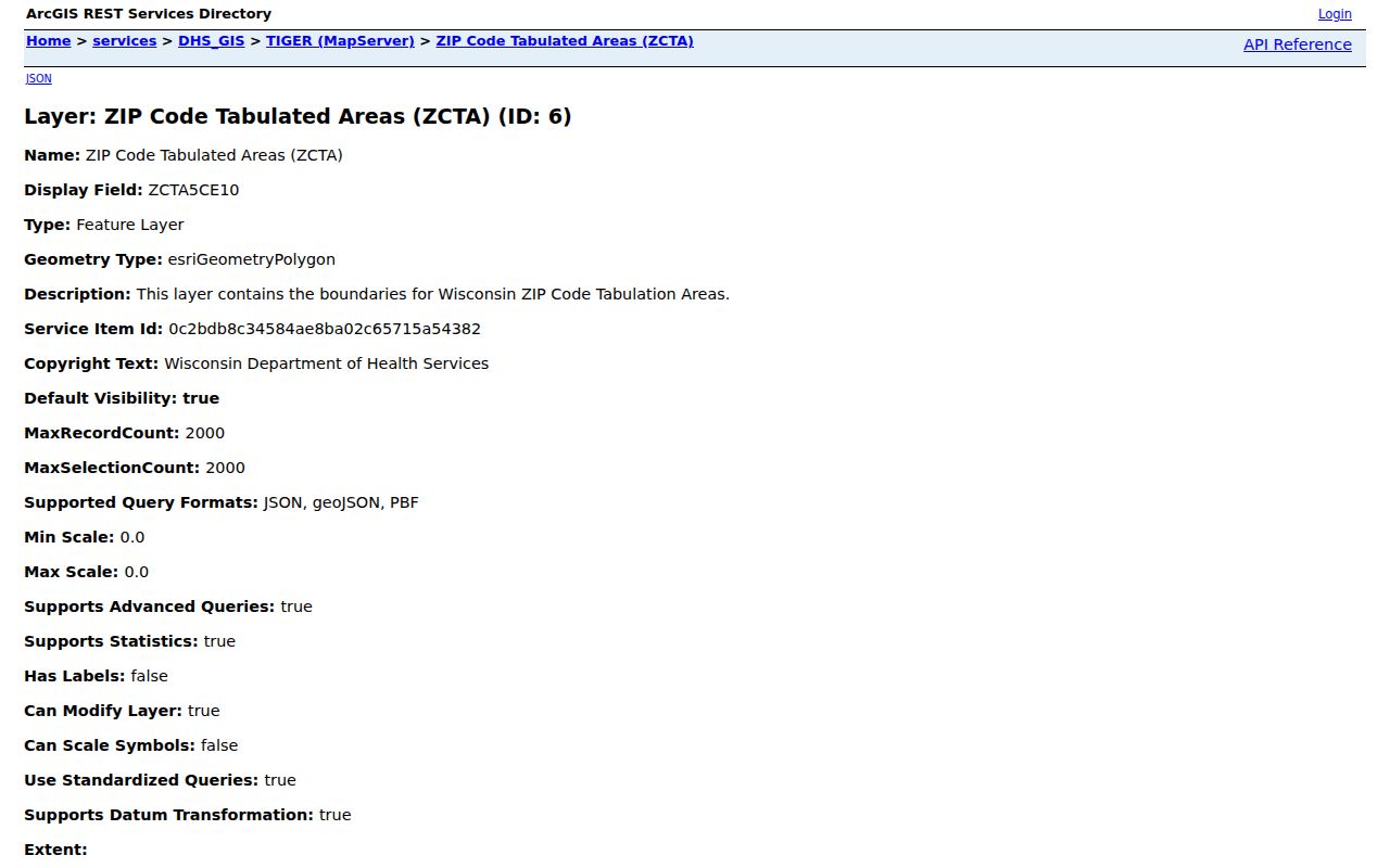
The service image represents statistical geography. The parcel viewer is better for land lines, MyVote for election districts, and USPS for current mailing format.
Mequon ZIP Terms in Plain Words
Postal and Census terms sound alike but should not be exchanged. These distinctions prevent a ZIP code directory search from turning a broad geographic hint into an unsupported statement about a person or boundary.
- ZIP code
- A five-digit USPS routing code associated with delivery geography and recommended city names.
- ZIP+4
- The five-digit code plus four more digits that narrow a delivery segment. No Mequon ZIP+4 history was found.
- PO-box ZIP
- A ZIP used for post-office boxes. No official Mequon-only PO-box ZIP was located.
- Unique ZIP
- A ZIP assigned to one major recipient. No unique Mequon ZIP was documented.
- Carrier route
- A postal delivery route below ZIP level. Official local route-change history was not located.
- ZCTA
- A Census statistical area designed to approximate ZIP geography, not an exact USPS route boundary.
No official Mequon ZIP split, realignment, first-use date, carrier-route timeline, or before-and-after boundary map was found. Treat those as documented research gaps rather than filling them with dates from unofficial ZIP sites.
Mequon Civic Sites Show Both ZIPs
City polling locations provide a concrete illustration of Mequon's two-ZIP pattern. City Hall and Frank L. Weyenberg Library are 53092 examples. Crossroads Church, Mequon Nature Preserve, and Unitarian Church North are 53097 examples. The distribution shows that civic places across Mequon can carry either code.
The city voting-locations page connects wards with polling sites, while MyVote should decide the current polling answer for a specific address. A site address is an example, not the edge of a ZIP or ward. Polling assignments can change, and one ZIP may contain several voting districts.
Mequon's 1957 incorporation referendum passed 1,536 to 265. That city history matters because older sources may call the place the Town of Mequon even though current addresses sit in the City of Mequon. Postal labels, municipal history, and record custody must be read on their own terms.
Resolve a Mequon ZIP Mismatch
Do not force all databases to repeat one label. First check for a typing error, missing unit, old city name, or shortened street form. Then identify the purpose of the search. USPS controls mail formatting. Ozaukee County Ascent and GeoHub describe the parcel and municipality. MyVote supplies current election geography. The DHS ZCTA layer supplies statistical map context.
| Mail delivery question | Use USPS By Address and its recommended city. |
|---|---|
| Parcel question | Use Ozaukee Ascent and GeoHub by street or parcel ID. |
| Ward question | Use MyVote and the city polling source. |
| Statistical map question | Use the official DHS ZCTA layer with its vintage noted. |
The county Ascent parcel search accepts parcel ID or street number and name; its current public instructions do not document a ZIP-first mode. GeoHub adds parcel and road context. If an official mismatch remains, keep both values with their source dates and ask the relevant custodian to resolve only the field needed.
Note: “Not found by ZIP” means only that the chosen tool and search form did not return a result.