
Walk a Mequon Street
A useful street-by-street search separates four questions: Is the address valid, which parcel contains it, who appears in the land record, and what other source supports a household link? No one record answers all four. Ozaukee County's public property route is address-first, and the current instructions do not offer a public owner-name search. That makes the street number and street name the clean starting point.
Use the same written address throughout the search log. Save the full postal form, the shorter county search form, the parcel number, and the date checked. Then follow the chain:
- Confirm the complete address and recommended city or ZIP through USPS.
- Enter its number and street name in Ascent, then open the parcel result and tax detail.
- Find that parcel in GeoHub and inspect road, lot, aerial, plat, and nearby parcel context.
- Carry the legal description and recorded names to the Register of Deeds index or Tapestry.
- Use MyVote or a dated local directory only as a separate, limited check on an address.
This sequence keeps ownership, postal delivery, and occupancy from being blurred. A deed grantee may own the lot but live elsewhere. A registered voter record is not a complete household list. The strongest Mequon street directory result states what each source proves and what remains uncertain.
Search Mequon Addresses in Ascent
The Ozaukee County Ascent parcel search accepts either a parcel ID or an address. County instructions say to remove dashes and dots from a parcel ID. For an address, enter the street number and street name but leave out the directional and street type. Municipality is optional when uncertain. Public first-name and last-name fields are disabled in the current instructions, despite older county material describing name search.
| Ascent field | How to enter it | Public role |
|---|---|---|
| Parcel ID | Without dashes or dots | Alternate search route |
| Street Number | Number only | Pairs with street name |
| Street Name | Omit direction and street type | Address search key |
| Municipality | Use when known | Optional narrowing field |
| First and Last Name | Disabled | No current public name search |
| Select Detail | Choose TAXES | Opens tax-year details |
The live parcel card did not render during research, so do not assume it displays every commonly expected field. Cite only labels that appear in the result you actually see. If Ascent fails, use the Land Information Office or GeoHub instead of guessing at spelling.
See the county's real-estate research route as it appeared during capture:
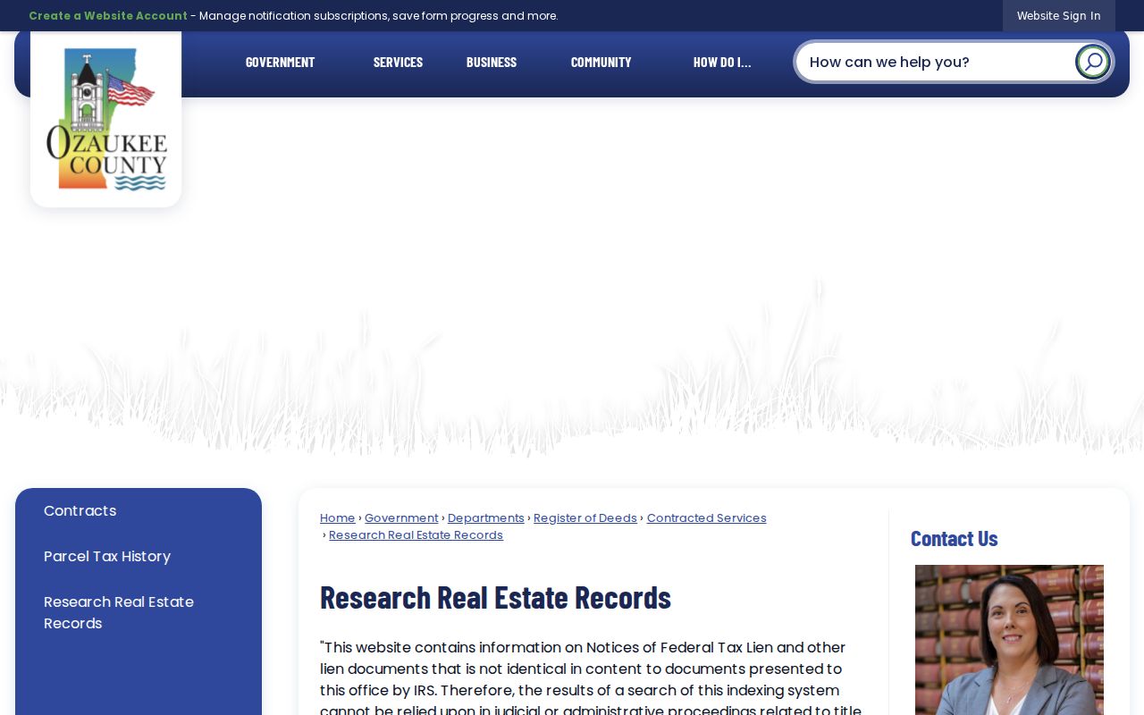
The county page helps route a parcel find into recorded-document research when the address search alone is not enough.
Mequon Records Keyed by Street
Each address-keyed source answers a different part of the question. Free online tools handle the first pass, while deeds, historical directories, and formal requests fill gaps. The Mequon street directory works best when a parcel number becomes the stable link between systems.
| Address layer | Local keeper | What it establishes | Access route |
|---|---|---|---|
| Postal address | USPS | Current format and recommended city or ZIP | Online address lookup |
| Parcel and taxes | Ozaukee County | Parcel result and tax details | Free Ascent search |
| Map and land layers | Land Information Office | Parcel, road, plat, PLSS, and aerial context | Free GeoHub and REST services |
| Recorded instruments | Register of Deeds | Parties, document reference, and legal description | Tapestry, office, or staff help |
| Election geography | MyVote and election officials | Current polling place and ballot context | Address lookup or WEC request |
| Older household leads | Hazel Wirth Archives | Dated name, street, and telephone entries | Reading room or paid research request |
City zoning and permit records add another channel. Mequon Community Development answers address and zoning questions, and a formal zoning verification letter costs $60. The city forms catalog is searchable by department and form type, but research found no complete public permit index. Ask the city records custodian for a defined address and date range when a form or map cannot answer the question.
For records that are not posted, use the Mequon public-records notice to identify the department that created or keeps the file. Describe the street address, record type, and date span, and ask for non-exempt portions if part of the file must be withheld. Wisconsin law sets no universal response deadline. State guidance calls for a response as soon as practicable and without delay. A narrow request for one address is easier to route than a demand for every file on a long street.
Map Mequon Streets in GeoHub
Ozaukee County GeoHub supports address and parcel queries, CSM and plat searches, and Public Land Survey System searches by section, township, and range. A CSM is a certified survey map. PLSS is the grid used to describe land before a modern house number existed. The viewer also offers measure, select, data-table, print, and CSV export controls.
Turn on parcel and road layers first. Add an aerial layer only after the subject parcel is clear. County instructions say aerial imagery reaches back to 1941, which can show a changed road line, field, building footprint, or later subdivision. It cannot prove who occupied a home. Save the layer name, aerial year, map scale, source disclaimer, and capture date with any print.
- Parcel
- A mapped unit of land with its own county identifier.
- Situs address
- The physical location of the property, which may differ from the owner's mailing address.
- Plat
- A recorded map that lays out lots, blocks, streets, or a larger tract.
- Criss-cross directory
- A directory arranged by address or street instead of only by surname.
The county's GIS service directory was successfully captured:
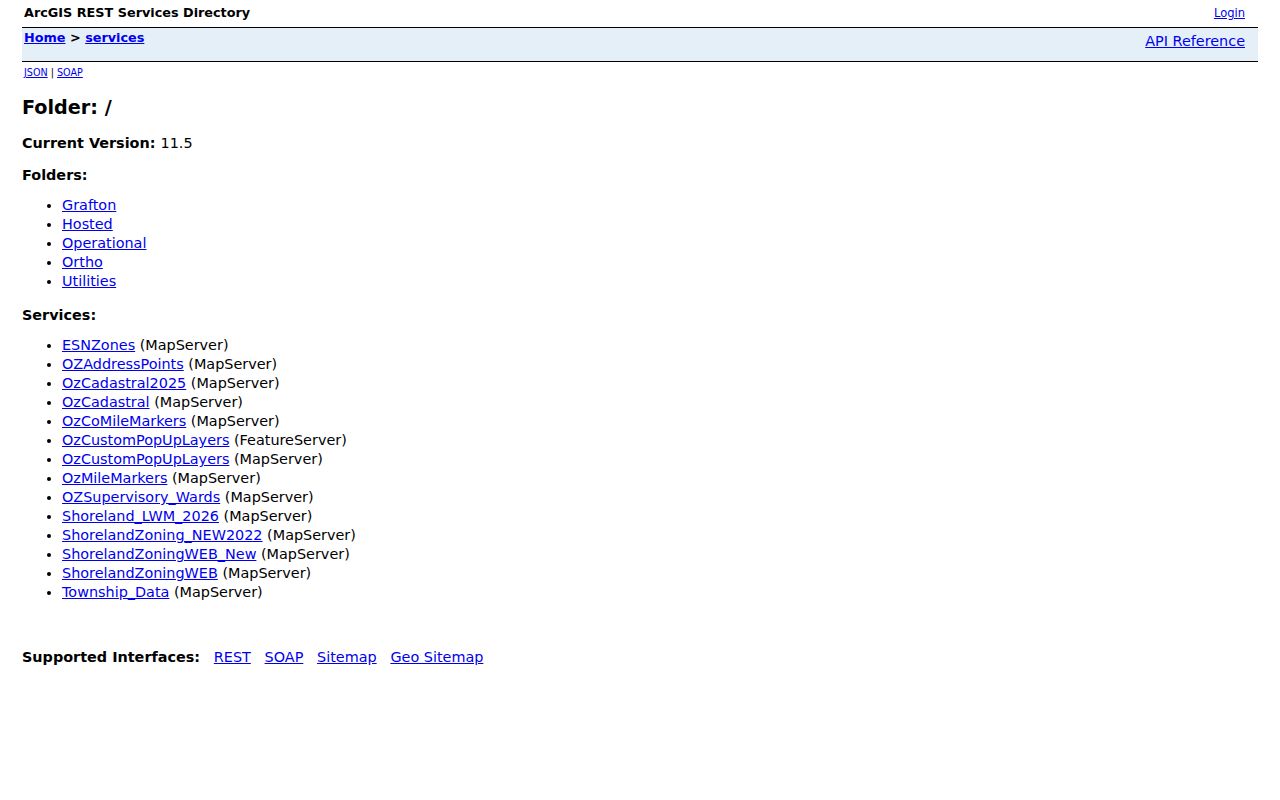
That service list helps identify the exact map layer behind a result, which makes a street record easier to check later.
Keep Two Mequon Address Forms
USPS and Ascent expect different input. Keep the complete postal version with unit, directional, street type, city, and ZIP. Also keep the stripped county version with only street number and street name. Test both Mequon and Thiensville only when the postal record makes that necessary. Both 53092 and 53097 occur in Mequon, and a ZIP does not define the city boundary.
MyVote's address mode asks for Street Address, City, ZIP, and an optional Unit. It can return polling-place, ballot, election, and absentee information. That is election context, not a public roll of everyone on the street. Full voter-file data uses a separate Wisconsin Elections Commission request, and protected fields and confidential voters are excluded.
Note: Keep the source's exact address string beside your normalized form so a later spelling change does not erase evidence.
Link Mequon Streets to Deeds
A recorded deed is usually indexed by party name and legal description, not by a modern street alone. After finding the parcel, copy its legal description and the newest verified party name into the Tapestry EON portal. Record the document number, recording date, type, grantor, grantee, volume or page, and any parcel reference shown.
The dates describe different layers. The current Register of Deeds page says its grantor-grantee index reaches back to 1894 while back-indexing continues. Office images are described from December 1, 1835 to the present. Tapestry image coverage begins September 5, 1984. An older county FAQ says its index was complete from December 11, 1972. Preserve the interface and access date rather than forcing those facts into one cutoff.
Quick Search is pay as you go and does not require an account. The cited FAQ lists $5.95 for a party-name search, up to 200 listings, free document details, and image pages at $0.50. Advanced Search requires an account and can use legal description, document type, and date range. Call or visit the Register of Deeds when an index hit points to an image that is not online.
When Mequon Street Numbers Fail
Mequon's record geography changed from township to county to city. The township formed in 1846, Ozaukee County formed in 1853, and Mequon incorporated in 1957. An old record may therefore name the Town of Mequon, a farm, acreage, a section, or a road description rather than today's city address. No official comprehensive renaming or renumbering index was found.
The best fallback is the parcel's legal identity. Search its CSM, plat name, lot and block, or PLSS section, township, and range. One early local land reference uses Section 17, T9N R22E. That is a historical example, not a match for all land. Compare it with Mequon plats held for 1873, 1892, 1921, 1939, and 1948, plus local map references spanning 1867 to 1980.
Insider tip. If a modern Mequon street string fails, pivot to parcel ID, CSM, plat, and PLSS before declaring a gap.
Read Mequon Directories by Address
The Hazel Wirth Archives at the Ozaukee County Historical Society holds telephone and community directories dated from 1900 to the present. That span does not prove every year, title, or rural route survives. Research also found no complete official Mequon criss-cross run. Ask staff for the exact title, year, publisher, municipality coverage, and whether the volume is alphabetical, street-based, classified, or reverse.
Start with a year established by a deed, tax roll, or map. Search the same address in that year and adjacent editions. Record the printed spelling and page. The historical collections are covered more fully on the Mequon city directories page, while this address workflow uses them only after the parcel and year are known.
OCHS accepts reading-room visits and research by mail, fax, or email. Listed hours are Tuesday 9:00 a.m. to noon and the first Saturday 9:00 a.m. to noon. The research service is $25 for the first hour and $10 after that. Call before traveling.
Mequon Ownership Is Not Occupancy
A tax owner, deed grantee, polling result, ZIP match, or directory entry alone does not prove who now lives at an address. Trusts, estates, businesses, and people who receive tax mail elsewhere can appear in property files. A directory may be old, incomplete, or keyed to a phone subscriber. MyVote protects confidential records and is built for election tasks.
Use two independent layers and label the result. USPS gives postal confidence. Ascent gives parcel and tax confidence. GeoHub gives map confidence. A deed supports legal ownership. A dated directory or tax roll supports a historical name at a time and place. None should be stretched beyond its field and date.
Limits of Mequon Street Records
The Mequon street directory cannot supply a complete household roster. It cannot reveal confidential Safe at Home addresses, excluded voter fields, or private association lists. Current parcel results may also omit fields expected from older county systems. A blank online result can mean the wrong format, an older paper record, protected data, or a portal gap.
Fallback channels matter. Visit or contact the Register of Deeds for old images and confusing indexes. Ask the Land Information Office about parcel and map data. Submit a focused request to Mequon Community Development for address-specific municipal records. Under Wisconsin Public Records Law, the custodian may provide non-exempt records, redact protected parts, or explain a denial.
Lawful use. Use Mequon address records for personal, civic, or family research. Never use them to track, threaten, harass, or harm anyone.