
Mequon Previous Resident Sources
The right starting source depends on the period. Modern parcel and deed tools establish today's land identity. Older plats and tax rolls bridge a tract into the era before a stable street number, while directories and census schedules add household evidence. Coverage dates describe a collection or access layer, not proof that each year survives.
| Source | Years it covers | Where held | What it may show |
|---|---|---|---|
| Deed office images | 1835 to present | Ozaukee Register of Deeds | Deeds, plats, easements, and ownership links |
| Grantor-grantee index | 1894 to present | County index and office | Names and recorded instruments |
| Tapestry images | 1984 to present | Tapestry EON | Online document images and plats |
| Mequon tax-roll reference | 1857 to 1930 | Weyenberg and WHS research | Taxpayer and land continuity |
| Mequon plat references | 1867 to 1980 | MTHS and WHS | Road, tract, and land-division context |
| Telephone and community directories | 1900 to present | Hazel Wirth Archives | Dated name, address, and phone leads |
| Federal census | Through 1950 publicly | NARA and library databases | Households and place of enumeration |
For a recent Mequon address, begin with Ascent and the latest deed. For an older farm or road, begin with the legal description and map sequence. Use household sources only after the address and period are stable.
Three Ozaukee Deed Dates
Ozaukee's dates must stay attached to their systems. The current real-estate research page says the grantor-grantee index reaches back to 1894 and back-indexing continues. The office describes document images from December 1, 1835 onward. Tapestry image coverage begins September 5, 1984. An older FAQ separately says its index was complete from December 11, 1972.
A result from the index is not the same as the document image. Save the portal name, search date, document number, volume or page, type, parties, and legal description. If an online entry has no image, call or visit the Register of Deeds at 121 W. Main Street, Room 120, Port Washington. Regular listed hours are Monday through Friday, 8:00 a.m. to 4:30 p.m.
The county access page was captured from its official source:
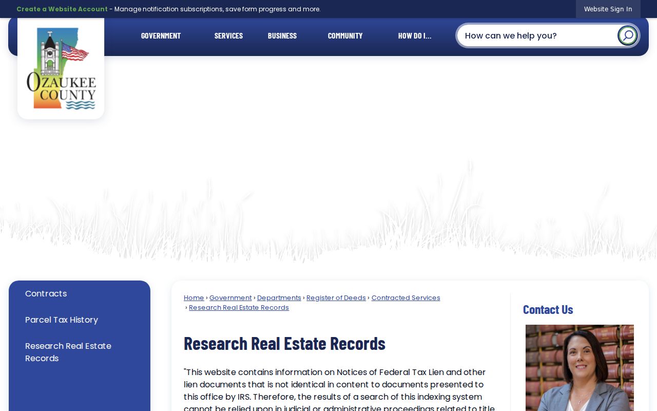
It shows the county route that connects older Mequon ownership clues with the index, office images, and staff help.
Trace Mequon Deeds Backward
A deed chain follows legal ownership from the newest known instrument toward earlier transfers. Begin with a parcel, not with an assumed occupant. Capture the situs address, parcel ID, legal description, and latest verified deed. Then move from buyer to seller one transaction at a time.
- Find the current parcel through the Ascent address search or GeoHub.
- Locate the newest deed in the Register of Deeds index using its party and legal-description details.
- Read the seller, or grantor, and any prior instrument reference in that deed.
- Search that seller as an earlier buyer, or grantee, for the same land description.
- Repeat until the online layer ends, then ask the office for older images, books, plats, or staff direction.
Watch for joint tenancy, survivorship, trusts, estates, business entities, easements, and parcel splits. Those details may explain why a name changes without a normal sale. A legal description is more durable than a house number, especially where acreage became lots.
- Grantor
- The party transferring an interest in land.
- Grantee
- The party receiving that interest.
- Chain of title
- The linked series of recorded transfers for the same land.
- Legal description
- The formal land identity based on a lot, plat, survey, or section rather than mail format.
Bridge Old Mequon Resident Tracts
A present street number may not appear in nineteenth-century material. Mequon was a township from 1846 and became part of Ozaukee County in 1853 before incorporating as a city in 1957. Search both town and city labels. Older deeds may identify a farm, creek, acreage, lot and block, certified survey map, or PLSS section, township, and range.
One county history example places an early Mequon land sale in Section 17, T9N R22E. It is a method clue, not a universal location. The Ozaukee County GeoHub can query PLSS, CSM, plat, address, or parcel and can overlay roads and aerials. Use the legal description from the newest deed to test which old map unit became the modern lot.
Insider tip. When a modern Mequon number fails, move to parcel ID, CSM, plat, and PLSS before treating the trail as broken.
Five Mequon Resident Plat Checkpoints
The Hazel Wirth Archives holds Mequon plat maps or reprints for 1873, 1892, 1921, 1939, and 1948. MTHS and WHS sources also point to Mequon map coverage from 1867 to 1980. Compare the same section or tract across those dates. An owner label, road alignment, lot split, or subdivision name may create the bridge that a street search missed.
A map label is historical evidence, not a current legal boundary. Record the title, year, page or sheet, repository, scale, and any adjoining owner names used to orient the tract. Then return to the deed index for legal proof. GeoHub aerial imagery back to 1941 can add a separate visual check on roads, fields, and building footprints, but it cannot identify residents.
Note: No official comprehensive Mequon street-renaming or renumbering index was found, so every claimed address change needs its own cited map or record.
Mequon Households Across Records
Owners are only one part of a house history. A deed may name a trust, an estate, or someone who received mail elsewhere. To look for previous residents, compare a deed date with tax rolls, a nearby directory year, and a public census year. Keep the printed address, surname variant, and repository citation for every match.
- Choose a transfer year or tax-roll year tied to the parcel.
- Ask OCHS for the closest available directory editions and note any gap.
- Search the same surname, address form, and nearby households in the closest public census.
- Use obituaries, probate, marriage, church, or cemetery evidence to explain a move, estate transfer, or surname change.
The 1950 federal census is public under the 72-year rule, while 1960 will not open until 2032. OCHS lists directories from 1900 to the present, but it does not publish a complete year-by-year Mequon run. Search adjacent years and record a missing edition as a coverage gap, not proof that a home was empty.
Where Mequon Resident History Waits
The Frank L. Weyenberg Library genealogy collection offers local-history guides, yearbooks, an in-library database terminal, and computer and scanner access for up to three hours per day. Its guide routes property research to deeds, plats, tax records, newspapers, census, probate, church, and cemetery sources.
The strongest long directory run found is at the Hazel Wirth Archives in Cedarburg. Besides telephone and community directories, OCHS holds Mequon township clippings, obituaries, cemetery records, school items, family files, newspapers, limited probate from 1867 to 1900, and marriage applications from 1850 to 1980. Listed reading-room hours are narrow, so call first. Research by mail, fax, or email costs $25 for the first hour and $10 for later hours.
The successful archive capture shows the repository entry point:
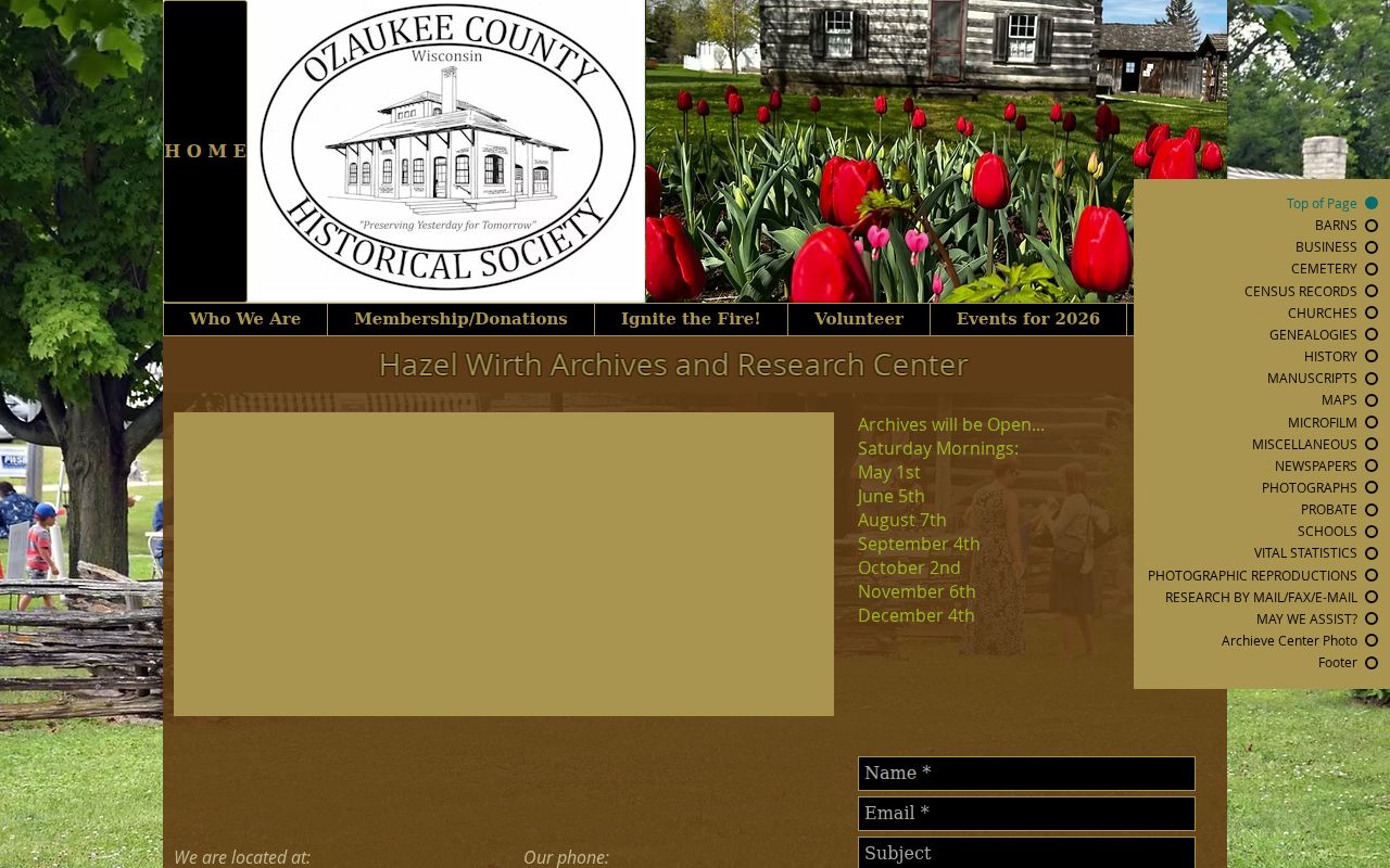
Its mix of maps, directories, clippings, and probate material is especially useful when the deed trail names land but not the household.
Why Mequon Resident Trails Split
County history reports that records were once removed overnight from Port Washington to West Bend during a county-seat dispute and later recovered. That episode helps explain why an early Mequon trail may require more than today's county index. Search predecessor Washington County context, state historical collections, and local archives before deciding an early record never existed.
Modern retention rules do not tell the whole preservation story. A government office may no longer keep a routine file, while OCHS, WHS, or library microfilm preserves a copy or index. Distinguish “not online,” “not in current custody,” and “not created.” They are three different conclusions.
Mequon Transfer Records Changed
Ozaukee County began electronic return of recorded documents in December 2024. Recording partners can receive documents electronically, while a paper original returned by a self-addressed stamped envelope may not carry the recording stamp. Under the agreement, the county may shred an original after 30 days. That process affects what a researcher receives, not whether the deed was recorded.
Wisconsin's property-transfer reporting system changed again in January 2026. The older system went offline January 8, the new system began January 12, and returns older than November 10, 2025 did not migrate. For a missing transfer report, ask the county Land Information Office rather than assuming the filing is absent.
See the official electronic-return notice and preserve the date checked. Procedures can change faster than deed coverage.
Complete Mequon Resident Trails
Death, probate, marriage, obituary, and cemetery sources can explain why a deed moved into an estate, why a surname changed, or where a household went next. Wisconsin vital certificates have eligibility rules under state law, so use the county counter or state forms only when qualified. OCHS obituaries and limited probate can provide historical leads without implying a complete index.
Mequon's Opitz Cemetery uses a city Parks inquiry form rather than a public interment search. Supply burial names and birthdates through that route. A response can support a family or death trail but cannot establish current residence. The city form, county probate office, and archives are fallback channels when online searching stops.
The directory holdings themselves, including their limits and ways to read an entry, are covered on the Mequon city directories page. Keep this backward address trail focused on dates, parcel identity, and the evidence connecting each household.
Lawful use. Research previous residents for house history, genealogy, estate work, or personal curiosity. Do not track, harass, or expose any living person.